A gateway to understanding manta rays in the central Great Barrier Reef

James Cook University scientists are studying a previously unknown manta ray aggregation at Holbourne Island – capturing photographs of the mantas’ distinct markings and deploying satellite and acoustic tracking tags.

It’s the first satellite and acoustic tag to be deployed on a manta ray in the central area of the Great Barrier Reef, uncovering valuable insights on how mantas travel and connect with neighbouring habitats.

Funded by North Queensland Bulk Ports Corporation (NQBP), the JCU team will continue to work with Dr Adam Barnett and Ingo Miller from Biopixel Oceans Foundation (BOF) to uncover critical information about these elusive creatures.

The data from the tracking tags will feed into BioTracker and into a broader national research program ‘Project Manta’, which seeks to uncover manta behaviour, movement patterns and population dynamics in Australia.

The manta aggregation discovery was first made by Tony and Avril Ayling, experienced reef monitors and JCU alumni.

Researching the elusive gentle giants

Manta rays, known as the world’s largest rays, boast impressive wing spans of up to 7 meters and are often referred to as the gentle giants of the ocean.

Each manta ray has distinct markings on their underbelly, similar to a fingerprint. By capturing images of mantas’ underbelly, researchers can track individual mantas these unique identifiers.

Lead scientist of the JCU-NQBP coral monitoring program, JCU’s Dr Katie Chartrand, said with limited data on manta populations within the central Great Barrier Reef, the newly identified site offers a valuable opportunity to capture images of mantas and track population movements in the region.

“We know this manta aggregation at Holbourne Island is attributed to a cleaning station. This is where smaller fish species diligently remove dead skin, bacteria, and parasites from manta rays and other larger marine animals,” she said.

“These cleaning stations are fixed to where the cleaning fish set up shop, meaning we will be able to reliably document animals visiting over a long period of time.”

It’s the first satellite and acoustic tag to be deployed on a manta ray in the region, and will invaluable insight s on how mantas travel and connect with neighbouring habitats.

Research support research programs ‘Project Manta’ and ‘BioTracker’

Project Manta has over 1500 individuals recorded in the east coast database, with over 9000 photo-ID sightings. Through its comprehensive photo-ID sightings database and satellite and acoustic tracking tags, Project Manta will be able to fill key knowledge gaps about mantas in Australia.

BioTracker follows sharks and rays using satellite transmitters to learn more about movement and migration patterns, which helps to identify habitats key to their survival, their relationship with other marine animals, population dynamics, and their vulnerability to threats. A network of acoustic underwater receivers feedback additional information on finer-scale megafauna movements.

The Holbourne Island discovery, supported by the long-standing partnership between NQ Bulk Ports and JCU, enhances the research efforts of Project Manta and BioTracker.

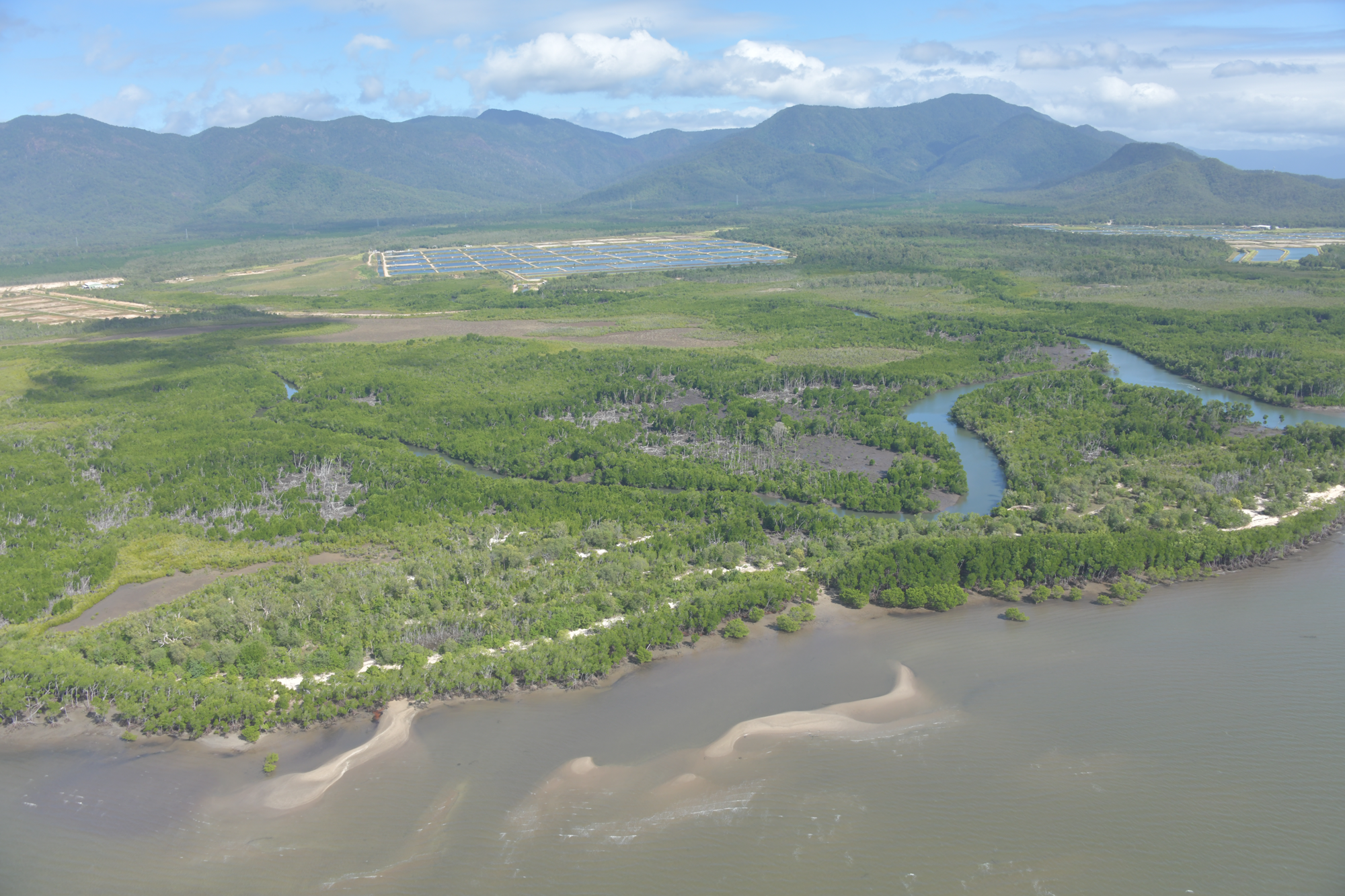
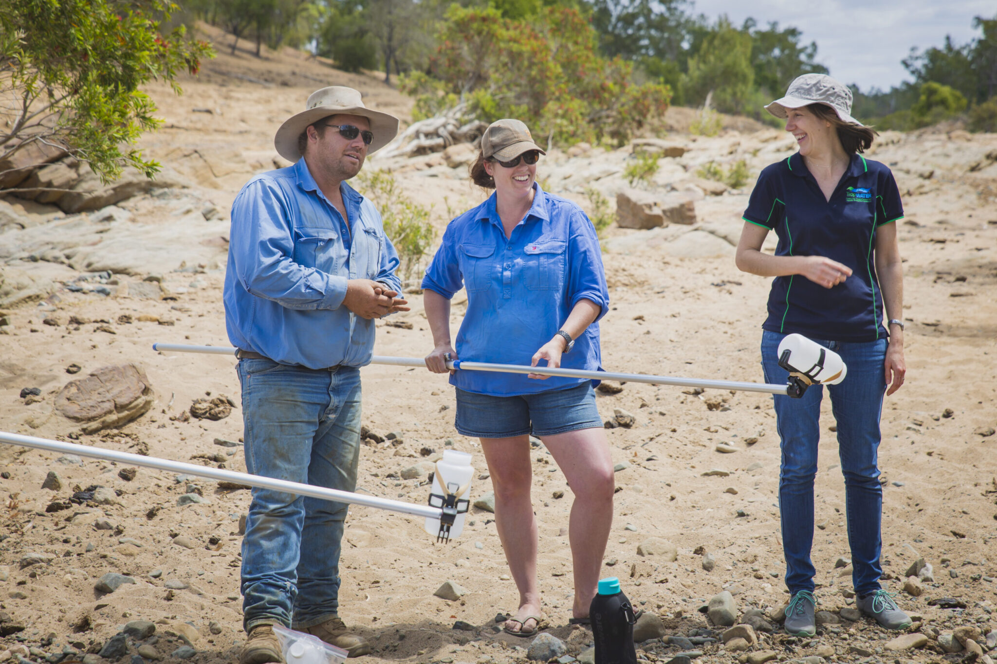
NQBP’s has a long-standing marine monitoring partnership with JCU, with scientists undertaking extensive ambient marine environmental monitoring of water quality, coral and seagrass for more than two decades.

Surveying mangrove forests along the southern Great Barrier Reef coastline

Mangroves are nature’s blue carbon powerhouses – capable of capturing and storing significant amounts of carbon – making them a vital tool in mitigating the climate crisis.

They’re also biodiversity hotspots that provide essential breeding grounds for native fish, while stabilising coastline ecosystems and reducing erosion.

But the state of mangrove habitats along the Great Barrier Reef coastline is a growing concern, and until now, knowing if and where we can restore lost forests has remained unanswered.

Funded through Greening Australia’s Reef Aid program, as part of the Blue Carbon Initiative, a team of James Cook University TropWATER scientists have taken to the skies, conducting helicopter shoreline surveys from Cairns to Gladstone.

With a bird’s-eye view, the team assessed the health of these vital shoreline ecosystems, including both forest loss and gain and their continued threats. At the same time, they identified potential sites for restoration and registration as Carbon Projects under the Clean Energy Regulator’s recently released Tidal Restoration of Blue Carbon Ecosystems method.

Shoreline transformation: the condition of mangrove forests along the Great Barrier Reef coastline

Over 80,000 high-resolution geo-referenced photographs were captured during the surveys, providing a crucial baseline of the Great Barrier Reef shoreline condition and a profound insight into what’s being lost.

Lead JCU researcher Professor Norm Duke said the stretch of coastline, with its distinctive blend of wet and dry tropic climatic areas, had not been surveyed to this extent before and early results show vast damage.

“Our observations provide clear, unequivocal and quantifiable evidence of changes to this increasingly dynamic shoreline,” he said.

“We can see the impact of severe tropical cyclones that have battered the region over the past four decades. We can also see extensive shoreline tree loss from erosion, coupled with scouring erosion of salt pans, and retreat of terrestrial shorelines.

“These are thought to be widespread evidence of rising sea levels.”

Dr Duke said observations were consistent with local records of sea level rise over the last half century of at least 4mm per year.

“We believe these changes must be monitored on a regular basis so that we can both manage the impacts, improve the resilience of shoreline marine ecosystems, and guide effective adaptation to the inevitable altered coastal areas.”

Can we restore mangrove habitats along the Great Barrier Reef coastline?

While it’s possible to restore some parts of coastal shorelines, Dr Duke says it’s not the complete answer to the climate crisis for shorelines.

“This project is allowing us to identify locations for restoration of tidal wetland habitats and their capacity to sequester and store carbon – which could help reduce one of the key drivers of global climate change,” he said.

“But our assessments reveal forces at play are far more widespread and active, and simply planting mangroves is not the answer to the climate crisis.”

Dr Duke said there needs to be greater effort into building greater resilience into shorelines, including the repair of damaged areas, and targeted planning for coastal zones to adapt and retreat.

“The complexity of such a response cannot be underestimated, but if we don’t anticipate the inevitable and predictable changes coming our way, then we will be faced with one damaging shoreline disaster after another.”

“As a smart society, if we move quickly, we can be climate change entrepreneurs instead of its ignorant victims.”

Dr Duke said building resilience allows mangroves to migrate upland to survive. This includes providing supratidal buffer zones for the upland migration of mangrove seedlings by controlling things like fires along shoreline edges, removal of smothering weeds, eradication of routing feral pigs, combined with targeted mitigation like the removal of non-essential constructed bund barriers.

Greening Australia’s Director of Reef Aid Dr Lynise Wearne said the project is an exciting opportunity to understand the priorities and opportunities for coastal restoration across the Reef Catchments as Greening Australia pioneers innovative nature-based solutions that benefit communities, economies and the environment.

The shoreline surveys were conducted in May 2023, and scientists will produce a detailed report later this year.


Sediment hotspots: Improving confidence in our catchment models

New research suggests the effectiveness of water quality catchment models – used to identify sediment hotspots in Great Barrier Reef catchments – can be enhanced by incorporating river sediment tracing and independent water samples.

Led by James Cook University TropWATER, in collaboration with CSIRO, Queensland Department of Environment and Science and Griffith University, the research highlights how multiple lines of evidence are critical in improving confidence in model outputs for both policymakers and managers.

Lead author TropWATER’s Dr Zoe Bainbridge said while the spatial model has been continually refined over the past two decades, local field data from the catchment helps to validate the model and accurately identify sediment hotspots.

Using this integrated approach, the four-year study identified the Little Bowen River, Rosella and Pelican Creeks as the largest sources of sediment in the Bowen River catchment. The finding contradicted early estimates of the model, highlighting the importance of using multiple lines of evidence when identifying sediment hotspots.

“There are significant investment opportunities to target remediation at eroding gully and riverbank sites to reduce sediment run-off,” Dr Bainbridge said.

“By adopting these multiple lines of evidence approach, landholders and managers can have confidence that remediation sites chosen are going to result in the best investment outcomes and improved water quality for downstream wetlands, seagrass and coral reefs.”

The landholder monitoring, a collaborative between North Queensland Dry Tropics, landholders and TropWATER scientists will continue this wet season. These additional samples, capturing catchment runoff during different size flow events will provide further confidence in the field data.

The research was carried out in the Bowen-Broken-Bogie tributaries of the Burdekin River catchment, which has been identified as a major contributor of fine sediments to the Great Barrier Reef lagoon.

The study is part of the Landholders Driving Change (LDC) project managed by the NQ Dry Tropics Natural Resource Management body, funded through the Queensland Government (Major Integrated Project) and the partnership between the Australian Government’s Reef Trust and Great Barrier Reef Foundation.

This research was published in Science of The Total Environment under a CSIRO-JCU Catchment Water Quality Science Partnership, and an Advance Queensland Research Fellowship. https://doi.org/10.1016/j.scitotenv.2023.164731


Dr Zoe Bainbridge with landholders Mick and Natalie Comerford


Find out more Email Us Phone 07 4781 4073