The benefits of converting flood-prone cane paddocks into melaleuca plantations

The common melaleuca ‘paper-bark’ tree could be a powerhouse in not only storing carbon but filtering farm runoff – and farmers and scientists are teaming up to understand how big of an impact these native trees have.

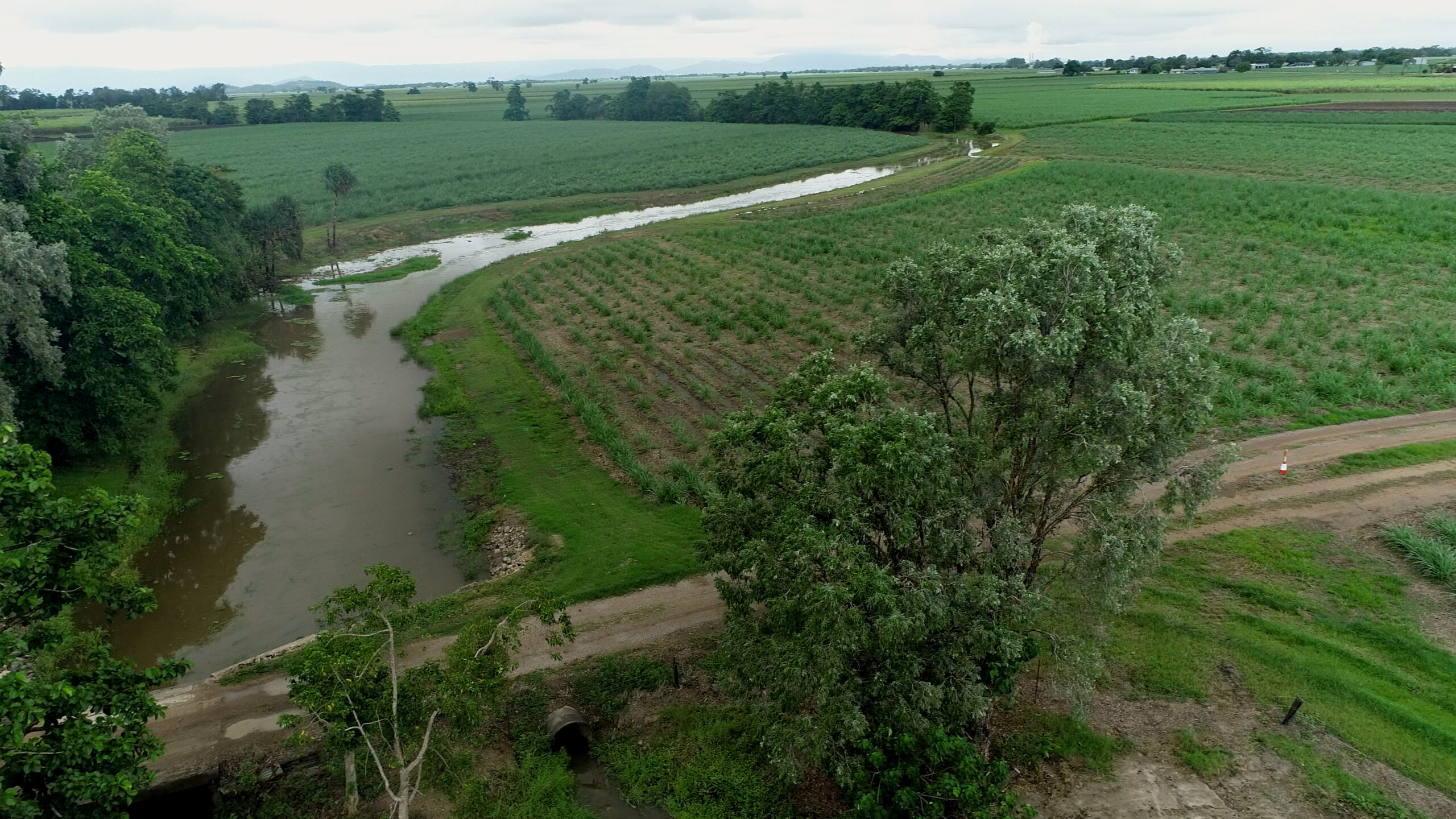
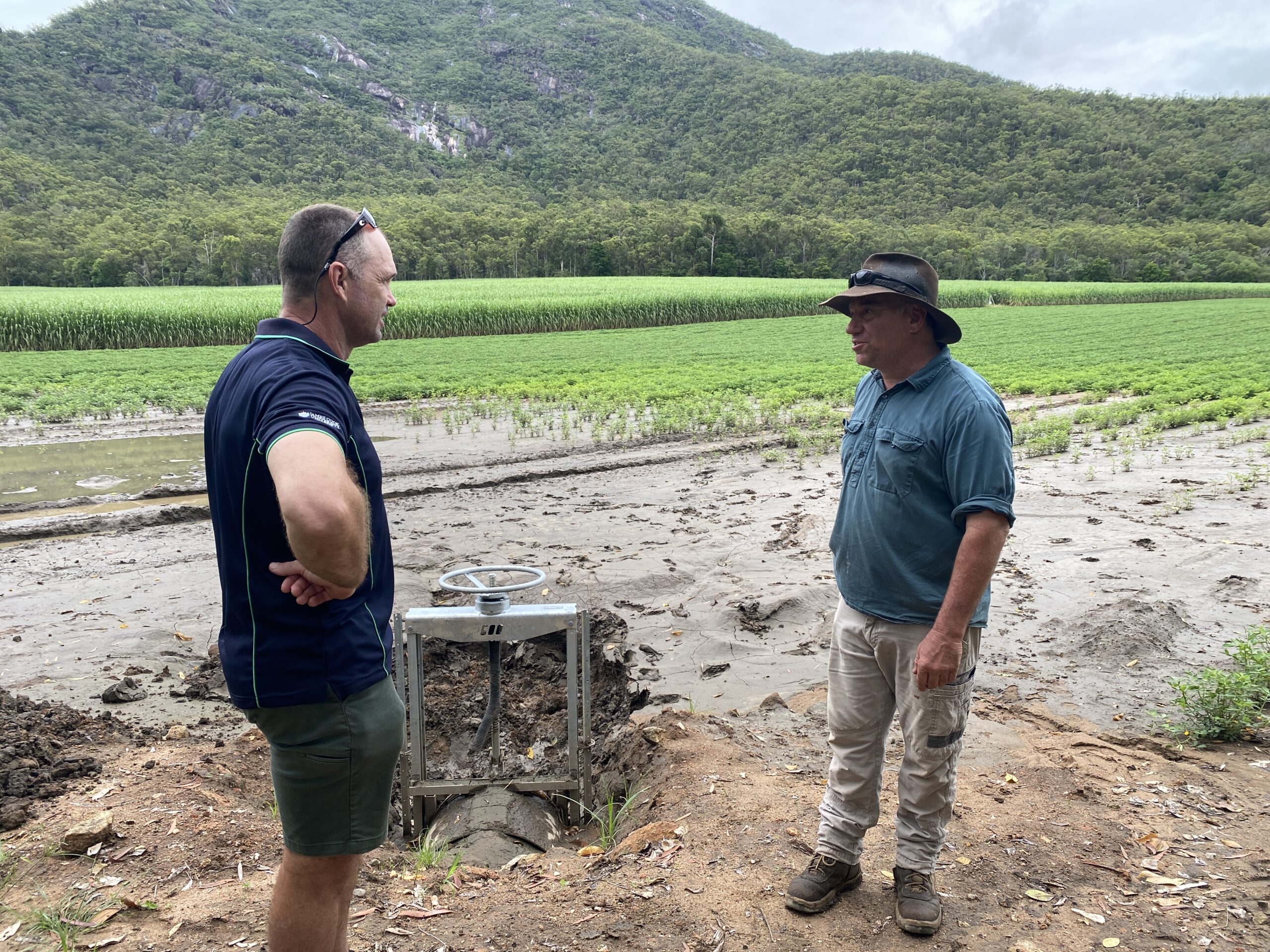
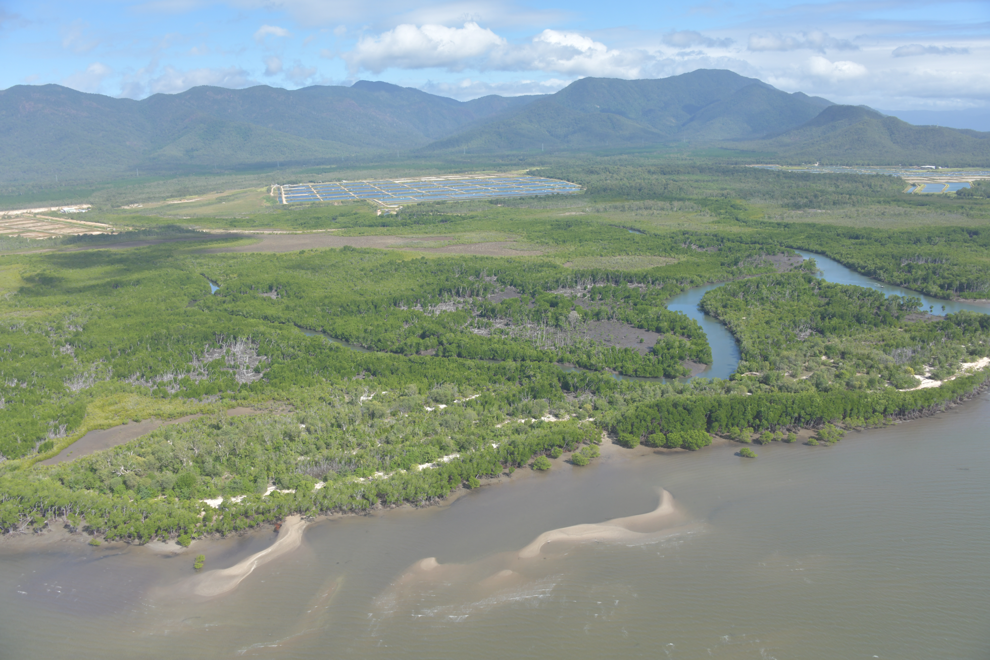
James Cook University’s (JCU) TropWATER Centre’s Dr Adam Canning is working with Ingham farmer John Cardillo and Greening Australia in a project that’s converted 15 acres of flood-prone cane farm into melaleuca plantations.

The project investigates the amount of carbon stored by these plantations compared to non-restored areas, and their role in capturing nutrients from farm run-off mobilised during high rainfall.

Lead researcher Dr Adam Canning said the research looks at how restoration can fit in with the agricultural landscape, where there are benefits for both farmers and the environment.

“Planting melaleuca plantations on flood-prone farms has dual benefits – they are powerful carbon sinks and can help improve water quality,” he said.

“But if agricultural land is restored, it could be at a production loss to farmers, so we need to think about how restoration can have co-benefits for farmers.

“This project is finding the best way to use these flood-prone paddocks to support the long-term success of the agricultural economy by leveraging emerging ecosystem service markets.”

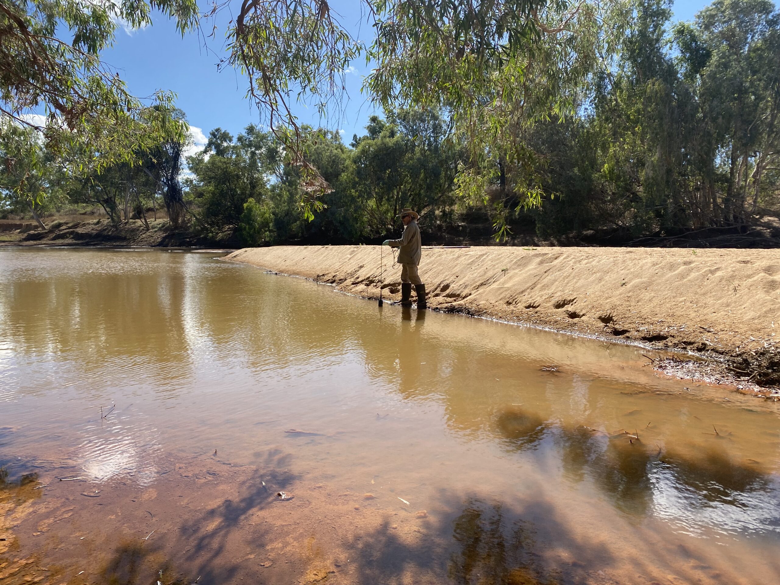
The research involved buring resin bags in the soil for 12 months to measure the nitrate leaching to aquatic ecosystems, as well as assessing soil carbon and microbiome levels.

Canefarmer John Cardillo, who has been involved in various revegetation projects, said the low-lying paddocks were wasted on cane because they were flood prone.

“Revegetating these paddocks is a good way to use this land,” he said.

“These paddocks are so close to the coast – the planted trees are great for holding sediment and it helps with erosion during floods.

“It might seem like a drop in the ocean, but this all adds up.”

Greening Australia’s Sean Hoobin said, “Land which isn’t good for cane can be converted to carbon farming both from vegetation and blue carbon methods – bringing additional income to landholders.”

“Greening Australia’s work with JCU to measure the water quality benefit of melaleuca wetlands, means that farmers may also be able to receive a Reef Credit payment to increase the overall value of restoration.”

Canning said there’s likely many flood-prone cane paddocks in Queensland that can be converted to melaleuca wetlands, and the results from this project could play big role in future restoration initiatives in the agricultural landscape.

“We have also been scoping the potential for planting over 120 other water-tolerant native tree species in locations across the Great Barrier Reef catchment to support carbon sequestration, nutrient runoff treatment and biodiversity.”

This article appeared in Wet Tropic’s Reef and Rivers magazine: https://wettropicswaterways.org.au/wp-content/uploads/2022/08/Reef-and-Rivers-Issue-2_final_spreads_small.pdf


Seagrass restoration project spans two oceans

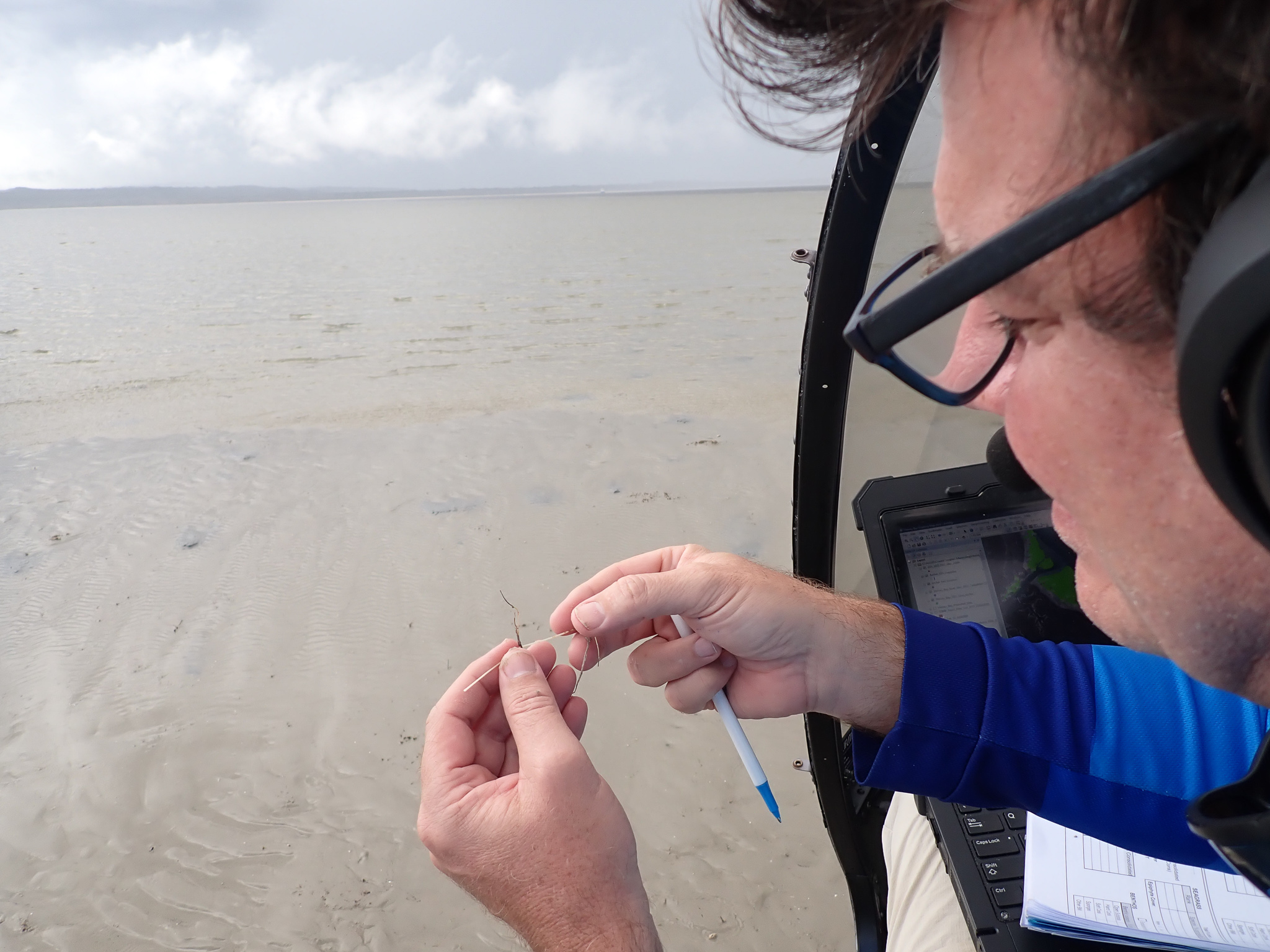
James Cook University scientists will lead seagrass restoration research spanning tropical Australia’s two oceans.

Researchers from JCU’s Centre for Tropical Water and Aquatic Ecosystem Research (TropWATER) will investigate restoration techniques for key tropical seagrass species, from Queensland’s Great Barrier Reef across to the north of Western Australia.

Their aim is to develop a blueprint for coastal managers to rapidly restore seagrass meadows in high-priority regions.

TropWATER’s Associate Professor Michael Rasheed said future-proofing highly diverse seagrass meadows is crucial to reversing the global downward trend in tropical seagrasses.

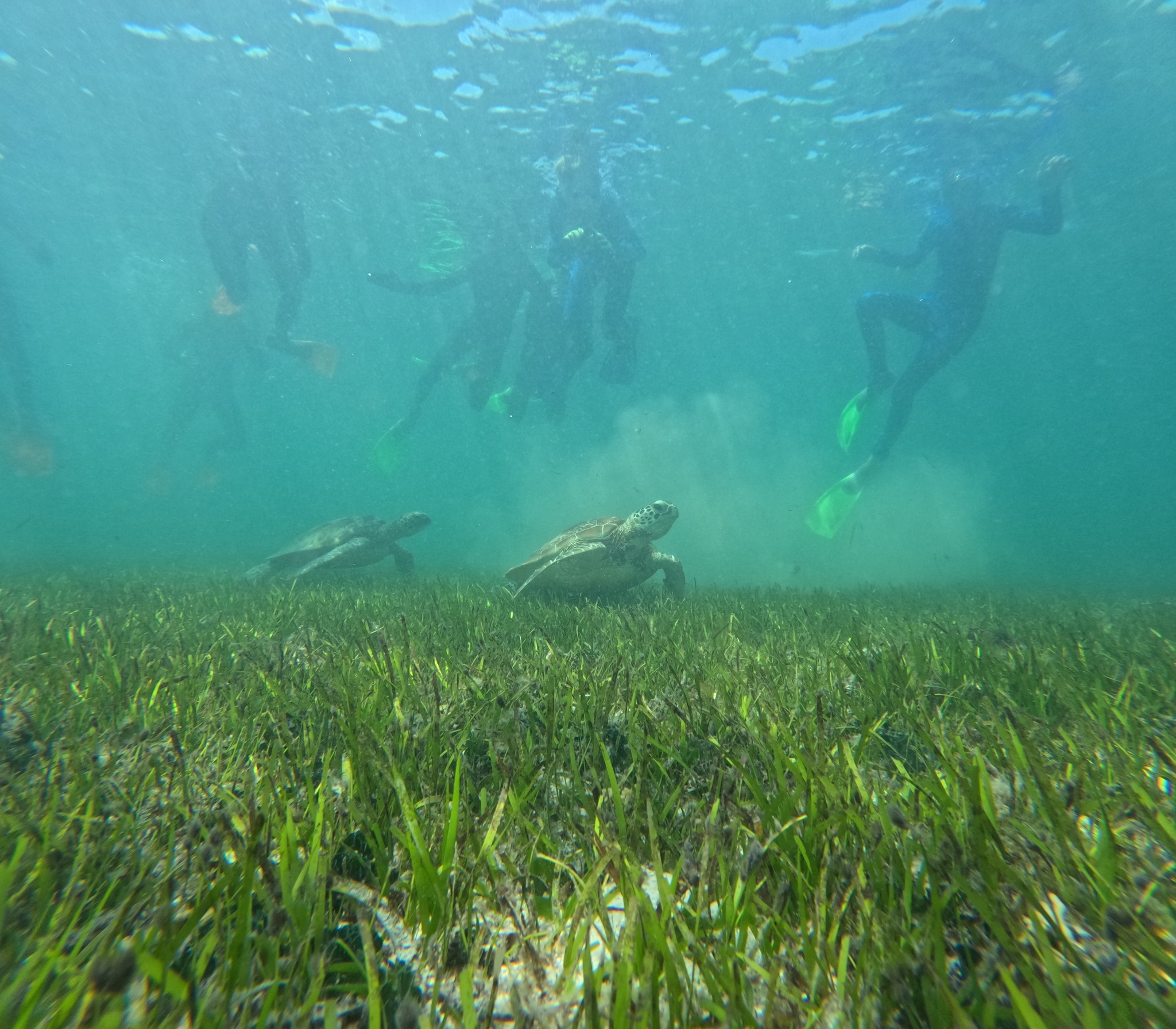
“Seagrasses are critical ecosystems,” he said. “They provide habitat for fish, they power coastal marine productivity, and they sequester carbon to help combat climate change – but they’re under increasing pressure from extreme weather events, coastal development and declining water quality.”

Associate Professor Rasheed said climate models predict that future conditions will see more frequent seagrass loss in tropical Australia, making it essential to have tools at hand for effective intervention and restoration.

“We’re investigating the most effective ways to restore different seagrass species, and developing the tools needed for rapid restoration on local and regional levels,” he said.

Professor Rasheed said the project would focus on tropical seagrasses, as most previous seagrass restoration projects have occurred in temperate regions.

Tropical seagrasses can be very different to temperate seagrasses. They have different growth strategies, and they have the potential for much faster recovery once established.

“Some restoration methods applied in temperate systems may not be applicable or transferable to tropical seagrass meadows, which makes our work all the more valuable.

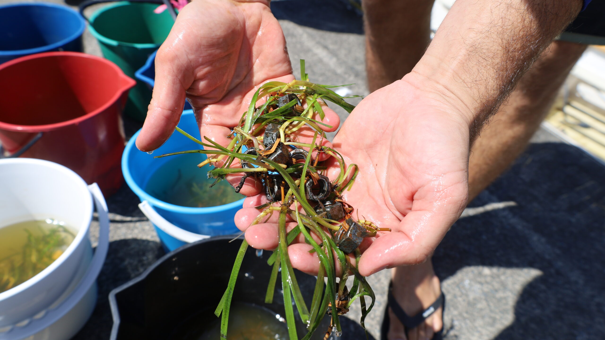
“We’ll investigate methods such as using seeds and cuttings, and new ways they can be used in the field, much the same as many land plants and nurseries operate.”

“We’re going to develop new techniques for tropical seagrass restoration, a blueprint for seagrass-friendly marine infrastructure, and restoration decision tools that can be applied at local and regional scales.”

The project builds on a long-term collaboration with industry partners Ports North and North Queensland Bulk Ports Corporation (NQBP).

“We are proud to support this ground-breaking research that aims to provide practical solutions to safeguard seagrasses and the Reef,” said Simona Trimarchi, NQBP’s Senior Manager of Sustainability and Environment.

The research is a significant next step in TropWATER’s long-term partnership with industry and will benefit from the decades of data already gathered.

“We take our environmental responsibilities seriously,” said Paul Doyle, Ports North’s General Manager of Corporate Affairs and Sustainability. “Together with JCU’s TropWATER Centre we’ve supported seagrass monitoring and research for almost three decades across the ports of tropical Queensland.”

The project is funded by a more than $450,000 Linkage grant from the Federal Government’s Australian Research Council.

Indigenous rangers and scientists team up to drive coral growth

Indigenous rangers and scientists team up to drive coral growth on the Great Barrier Reef during spawning season and beyond.

A team of scientists, First Nations Rangers, tourism operators and conservationists have collected millions of coral sperm and egg bundles at Moore Reef on Gunggandji Sea Country, 50 kilometres offshore from Cairns.

After a week of incubating in custom-designed pools, the coral babies have been  settled out at nearby Hastings Reef, on Yirrganydji Sea Country, in the hope of repairing patches of degraded reef.

The larval delivery project is part of the newly launched reef conservation collective called ‘The Reef Cooperative’, a partnership between Citizens of the Great Barrier Reef, Dawul Wuru Aboriginal Corporation, James Cook University (JCU), Reef Recruits, Mars Sustainable Solutions, GBR Biology and funded by Cotton On Foundation.

The coral larvae project is led by JCU TropWATER and Reef Recruits, who bring years of experience with raising and settling coral larvae and managing complex marine field operations.

JCU’s Dr Katie Chartrand says climate-related disturbances are increasing and the windows for reefs to recover are getting shorter and shorter.

“By using the Great Barrier Reef’s most reproductive time of year – the annual synchronised spawning – we have the potential to significantly boost reef recovery at targeted reef sites,” she said.

“Key to this project is that it’s being delivered with traditional custodians who hold a wealth of knowledge about their local reefs while the research team provides the scientific tools to train those involved.

“This project has been an opportunity to work hand in hand with two local Traditional Owner groups. Sharing our knowledge on spawning and larval rearing is building local capacity to drive conservation outcomes for First Nations peoples across the Great Barrier Reef in the future.”

The team will release 30 million larvae in the project over the next 3 years and build capacity within the community and The Reef Cooperative.

“The transfer of coral larvae from Gunggandji Sea Country to Yirrganydji Sea Country for settling on Hastings Reef is an important opportunity to engage Traditional Owner groups and tell our story about the Great Barrier Reef. Through The Reef Cooperative, we can focus on the Aboriginal cultural heritage dimensions of the Great Barrier Reef, which have not historically been known or told across Australia and the world,” Gavin Singleton, Dawul Wuru Aboriginal Corporation.

These larvae will increase coral coverage over more than 200 square metres of strategically selected degraded reef. The baby corals will have lots of natural predators, but at least 15,000 of them should survive to maturity.

”It’s a privilege to work on this project in collaboration with Traditional Owners. It’s also exciting to be trialling new methods to increase the coverage of high-density larval delivery,” said Dr Kerry Cameron, Reef Recruits.

This project spans two different sea countries, which is only possible thanks to the support and collaboration of the Gunggandji and Yirrganydji people. Gunggandji Elders say Moore Reef has long been known to them as a source reef and they have a strong spiritual connection with it.

“The fusion of Traditional Owner Ecological Knowledge with modern science for the whole world to see and be part of is what the mutually beneficial partnership of the Reef Cooperative is all about, and provides hope for the World Heritage Great Barrier Reef for generations to come,” said Eric Fisher, GBR Biology.

Tim Diamond, GM of Cotton On Foundation says, “Through our partnership with Citizens of the Great Barrier Reef, we are proud to be the founding funders of The Reef Cooperative and supporting the important cultural and conservation milestones for Hastings Reef on Yirrganydji Sea Country. The Reef Cooperative is a unique conservation model in action, driven by innovation and knowledge sharing between Traditional Owners, scientists and conservationists that can help protect and conserve the Great Barrier Reef. We’re looking forward to mobilising our customers and supporters in reef conservation over the next three years of The Reef Cooperative journey.”

Yirrganydji rangers have supported the fieldwork to prepare the delivery site at Hastings Reef and rangers from both groups will help with the collection of coral spawn and raising of the larvae.

Dugong Census Begins

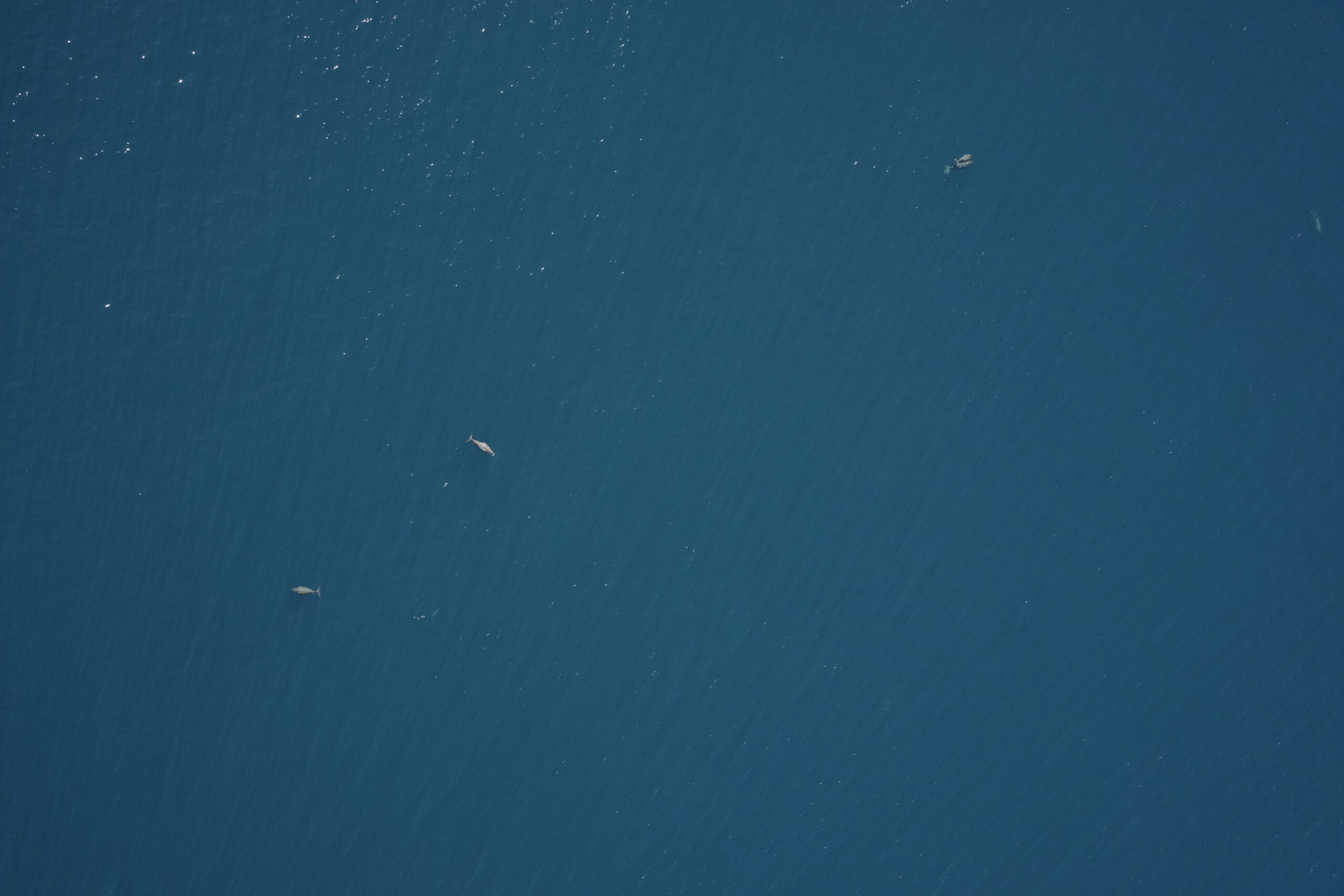
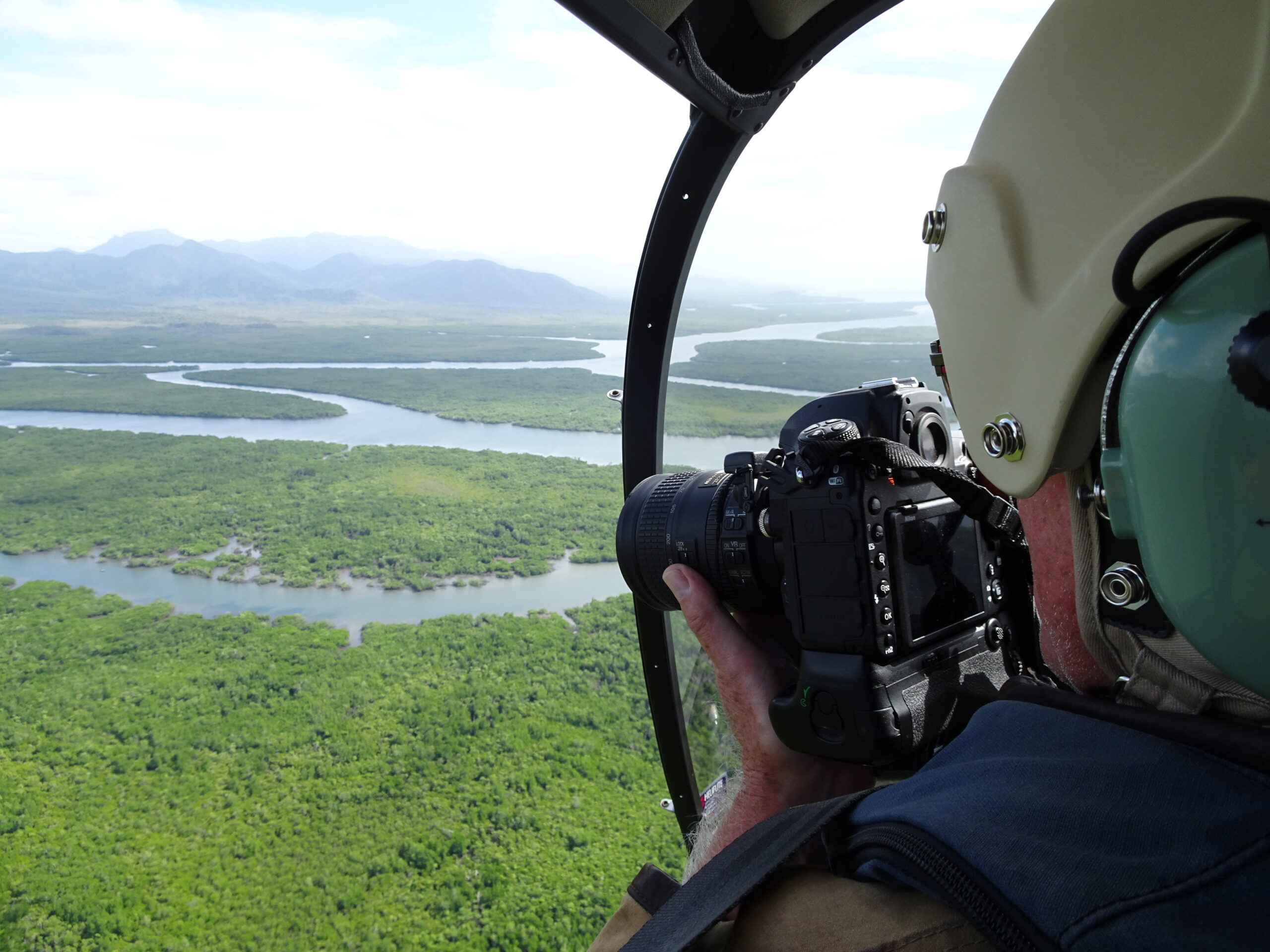
James Cook University scientists are in the air conducting critical Queensland-wide dugong population survey – counting dugongs along 2000 kilometres of coastline in under two months.

Like a census, the surveys are conducted over an intense period every five years to get a snapshot of dugongs and calves’ populations, from Cape York to Moreton Bay.

JCU TropWATER’s Dr Chris Cleguer said Australia is home to the largest dugong population in the world, and the surveys are critical for monitoring trends in abundance and distribution.

“These aerial surveys have been conducted for more than 30 years and are essential in not only estimating the current dugong population size but also mapping where dugongs are more or less abundant,” he said.

“There are concerns about the decline in dugongs across the urban coast of the Great Barrier Reef – this year’s surveys will give us the opportunity to understand the extent of this.”

Hervey Bay to the south of the Great Barrier Reef, a known hot spot for dugongs, is an area of concern following a major loss of seagrass habitat earlier this year. The seagrass loss resulted from two flood events, which smothered the seagrass and destroyed the dugongs’ main food source.

“The surveys will help us to determine how many dugongs currently are in Hervey Bay and the Great Sandy Strait as well as understanding their large-scale movements,” he said.

“It is possible the dugongs have moved in search of seagrass to other nearby key habitats such as Gladstone to the north or Moreton Bay to the south.”

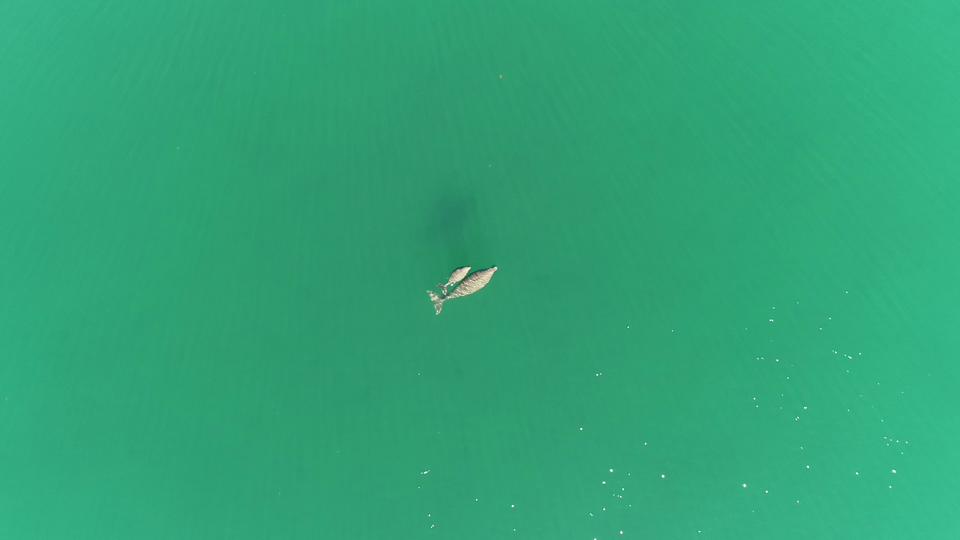
Dr Cleguer said, for the first time in Queensland, the aerial surveys will also use cameras attached to one of the legs of the aircraft to capture thousands of images of the water surface.

“These large-scale aerial surveys usually rely solely on highly trained observers to count dugongs from the sky,” Dr Cleguer said.

“But our collaborative research group is transitioning to using imagery survey and artificial intelligence to track and monitor dugongs in the future – saving time, money and providing enhanced data.”

The Great Barrier Reef dugong population aerial surveys are one of the critical Reef monitoring projects funded by the partnership between the Australian Government’s Reef Trust and the Great Barrier Reef Foundation (Cape York to Bundaberg). The surveys in Queensland’s southern bays, Hervey Bay and Moreton Bay, are also funded by the Department of Climate Change, Energy, the Environment and Water.

Great Barrier Reef Foundation Managing Director Anna Marsden said incorporating new technologies like AI is key to accelerating impact in tracking the health of the Reef and its animals.

“Dugongs are not only a vulnerable marine species we must protect, they’re also a priority indicator species for climate change and ecosystem health, with dugongs’ in-shore seagrass nurseries and feeding grounds highly susceptible to climate change impacts,” Ms Marsden said.

“By using new technologies and supporting efforts to accelerate and advance the aerial dugong surveys with our research partners from JCU, we will be able to give Reef managers and researchers access to the best possible information to proactively manage and protect the Reef and its marine life.”

The research team will survey from the Cairns region south to Moreton Bay over the next two months, and further surveys are planned for Cooktown to Cape York in 2023.


Bringing back bushfoods: Australia’s landscape mapped to boost bush tucker

Growing native bushfoods could reverse environmental degradation and offer better food security. But how do we get bushfoods in the agricultural sector in a market saturated by modern crops?

New research from James Cook University’s TropWATER has mapped Australia’s entire landscape to uncover the best places to grow more than 170 bushfoods.

The study found the Great Barrier Reef catchment area to be a hotspot for a wide range of bushfoods including those most in-demand commercially, including lemon myrtle, native plums and bush tomatoes.

Author Dr Adam Canning said identifying what native crops can grow where was an important first step in scoping potential native food industries to support farmers.

“Native foods in Australia have a rich history and there is a growing demand to get bushfoods in the supermarket, yet the commercial production of native foods remains small,” he said.

“This research maps Australia’s entire landscape to identify exactly what bushfoods can be grown where – and that’s a big step toward boosting Australia’s native food industry.”

Dr Canning said transitioning the agricultural landscape to include a diversity of native bushfoods would help reverse environmental degradation.

“Modern non-native crops such as sugarcane and wheat need intensive cultivation, irrigation, herbicides, and pesticides, and are grown as monocultures,” he said.

“This comes at a cost to the environment, and we’ve seen this happen along the Great Barrier Reef catchment.

“Diversifying modern agricultural systems to include native plants would help restore balance in coastal ecosystems through reducing runoff, improving soil health and supporting biodiversity.”

Coastal areas of Queensland’s wet tropics, south-east Queensland, New South Wales, and Victoria were predicted to support the greatest diversity of native food and forage species.

“These areas are the most agriculturally intensive areas with degraded environments, but they also have the greatest potential for regenerative agricultural practices,” he said.

“Farmers could start small by trialling intercropping, and slowly expand as knowledge and industries grow.”

To further incentivise these practices, more financial benefit schemes need to be developed to reward farmers for providing ecosystem services, such as carbon sequestration and reduced pollution.

The research also indicates a significant opportunity for Indigenous-led business models within the emerging bush foods sector. However, steps would need to be taken to ensure Indigenous knowledge and intellectual property are protected.

The research paper Rediscovering wild food to diversify production across Australia’s agricultural landscapes was published in Frontiers in Sustainable Food Systems.


Women Warriors of the Torres Strait set sail for the Great Reef Census  

The Women Warriors of the Torres Strait – an all-female crew of Traditional Owners, rangers and scientists led by the Torres Strait Regional Authority (TSRA) Sea Team and James Cook University – has set sail as part of the Great Reef Census to survey the northernmost section in the Torres Strait, northern Australia.

The five-day voyage to Mer (Murray Island) by the Women Warriors of the Torres Strait is the first time the Great Reef Census – led by Citizens of the Great Barrier Reef – has ventured beyond Cape York.

TSRA Senior Natural Resource Management Officer and Marine Biologist Madeina David, 24, said the trip served as ‘ethical science’ in the Torres Strait, with researchers and Traditional Owners working together to monitor the Great Barrier Reef, collect data and share findings with island communities to support local decision making.

“Our voyage sets a new course for science to value, respect and incorporate the traditional ecological knowledge of custodians who have cared for land and sea for centuries,” Ms David said.

“We will connect ancient knowledge and modern science to assess the condition of the northern Great Barrier Reef, including water temperatures, coral conditions and even explore the potential for a future turtle sanctuary.”

TSRA Sea Team Manager Moni Carlisle said checking conditions, including marine habitat at Mer, would provide critical insight into the future of the Great Barrier Reef.

“The Torres Strait is the northern tip of the Great Barrier Reef and known as the seagrass capital of the world. As home to globally important marine migratory species, including dugong and sea turtles, it is proving to be vital to the future of the Great Barrier Reef for both corals and sanctuary for species recovery,” she said.

JCU TropWATER’s Dr Katie Chartrand said the expedition was a valuable opportunity to work in partnership with Traditional Owners and rangers to paint a clearer picture of this hotspot of reef biodiversity.

“Using the Great Reef Census, we can rapidly collect thousands of reconnaissance images of remote reefs that have rarely or never before been formally surveyed,” she said.

Dr Chartrand said concerns have been raised of potential outbreaks of crown-of-thorns starfish, flagging the importance to survey this pristine region of the Great Barrier Reef.

“This Census gives TSRA and the local Meriam community a snapshot of the health of the reef habitats – and that’s a powerful strategy in taking steps to protect these extraordinary reefs.”

The Women Warriors of the Torres Strait Great Reef Census voyage is funded by the TSRA and supported by partners including the Citizens of the Great Barrier Reef and James Cook University.

Spearfishing restrictions boost fish stocks

Restricting spearfishing in some ‘yellow zones’ in the Great Barrier Reef Marine Park has doubled the abundance of coral trout, according to new research led by James Cook University scientists.

The study published in Biological Conservation focused on reefs around the Capricorn Bunkers, offshore from Gladstone, looking at the abundance of targeted fish species in partially protected Marine Park Zones known as ‘yellow zones’.

Researchers compared yellow zones that allow spearfishing to ‘special management area’ yellow zones that prohibit spearfishing.

JCU’s TropWATER scientist Dr April Hall said while spearfishing can be an ecologically sustainable activity with minimal bycatch, restricting the activity via designated spearing-free management zones can have conservation benefits at a regional scale.

“What we found was in yellow zones that excluded spearfishing, the numbers of target species such as coral trout were significantly higher compared to fishing zones that allow spearfishing,” she said.

“These restricted yellow zones also rivalled the abundance in nearby protected no-take green zones.

“Regardless of the effects of spearfishing, both kinds of yellow zones still support a greater abundance of coral trout compared to nearby blue zones, where fishing is less restricted.”

Dr Hall said while this study showed the conservation benefits of prohibiting spearfishing, it’s not necessarily the case across the entire Great Barrier Reef.

“We’ve compared other yellow zones in different parts of the Great Barrier Reef and the outcome varies, most likely due to differences in the popularity of spearfishing.”

JCU’s Professor Mike Kingsford said no-take marine reserves were one of the most effective conservation measures to restore the abundance of fish.

“Fully protected green zones in the area support the most significant number of large coral trout,” he said.

“This is a really important protection measure because large coral trout change sex from female to male, and this helps to maintain healthy breeding populations.”

Co-author, Great Barrier Reef Marine Park Authority’s Director Darren Cameron said the research demonstrated that yellow zones were an important marine park management tool providing a balance between conservation and sustainable fishing activities.

“Healthy fish populations in both yellow zones and protected no-take green zones produce baby fish, many of which grow up and are subsequently caught throughout fished areas. These zones improve fishing, with more fish also importantly contributing to the health and resilience of the entire Great Barrier Reef,” he said.

Gulf mangrove dieback discovery

Breakthrough research by James Cook University scientists has solved the mystery of the catastrophic death of 40 million mangrove trees around the Gulf of Carpentaria in 2016 – and the discovery could help scientists predict, and possibly prevent, future events.

The latest research reveals that the devastating mass death of tidal mangrove forests was a result of an unusually low sea-level due to large-scale swings in El Nino – Southern Oscillation events.

Lead author Dr Norm Duke from JCU’s TropWATER Research Centre said the mangroves had not recovered seven years on, making the mangrove dieback event an ongoing coastal catastrophe.

“The key factor responsible for the mass dieback appears to have been the sudden 40-centimetre drop in sea level that lasted for about six months, coinciding with no rainfall, killing vast areas of mangroves,” he said.

“Essentially, the trees died of thirst.”

The study shows that strong El Niño events – often associated with coral bleaching on the Great Barrier Reef – are also a threat to vital mangrove ecosystems.

Nearly 40 million mangrove trees died along 2000 kilometres of coastline in northern Australia’s remote Gulf region, releasing nearly one million tonnes of carbon. More than 76 km2 of mangroves were lost, making this the worst incidence of climate-related mass tree dieback that has ever occurred globally.

“Recovery has been repeatedly stymied by other climate-driven events including severe cyclones and flooding,” Dr Duke said.

Author assisting with data analysis and JCU TropWATER Researcher Dr Adam Canning said the study’s evidence for sea-level drop being the cause was found in the discovery of an earlier mass dieback in 1982, observed in satellite imagery.

“The 1982 dieback also coincided with an unusually extreme drop in sea level during another very severe El Niño event. We know from satellite data that the mangroves took at least 15 years to recover from that dieback,” he said.

“Now they are caught in a vicious collapse and recovery cycle because of repeated pressure from climate change – the question remains when or if they will recover.”

Enhancing the resilience of these ecosystems is possible with targeted action.

Co-author and wetlands researcher at Earthwatch Australia, Jock Mackenzie, said “To help mangrove ecosystems respond to environmental impacts such as climate change, we must address the localised human impacts that degrade mangrove habitats including pollution, altered hydrology, feral animals, weeds, and improper fire management. These impacts impede the natural ability of mangroves to adapt to climate change.”

“We encourage community groups, Indigenous custodians and catchment management agencies to continue to monitor mangrove shorelines through a combination of satellite monitoring and the MangroveWatch citizen science program, to help identify and prioritise targeted local mangrove management and threat reduction.”

Satellite imagery could also be used to help monitor the recovery of mangroves in remote areas and identify key areas under pressure. It may even be possible to predict future events, which could help prepare for innovative rescue efforts that may include reducing water stress during El Niño events via targeted irrigation.

Dr Duke said mangroves are vital to the ecology and stability of tropical and sub-tropical coastlines and their protection is critical.

“They provide essential habitat for many species and can hold substantially more carbon than tropical forests within the same area,” he said.

“These extraordinary trees are normally environmentally resilient, being able to grow in seawater, intertidal zones and on coastal salt flats. They are also essential for preventing or reducing shoreline erosion and retreat.”

The dieback’s exact cause has been revealed after a four-year research partnership between James Cook University, Charles Darwin University, and Carpentaria Land Council Aboriginal Corporation Indigenous Rangers in the Gulf, funded by the Australian Government’s National Environmental Science Program and the Northern Territory Government.

The Gulf mangrove dieback research project and team was funded by the Australian Government’s National Environmental Science Program (NESP), through both its Tropical Water Quality Hub and Northern Australia Environmental Resources Hub.

Scholarship gives marine science students real world opportunity

Two outstanding James Cook University (JCU) marine science students have been awarded Bachelor of Science scholarships – equipping them with unique real-world experience on the Great Barrier Reef under the guidance of leading marine researchers.

Jordan Wells and Indus Fisher will receive financial support throughout each year of their degree, in addition to the chance to work alongside researchers and port industry managers, thanks to a partnership between JCU and North Queensland Bulk Ports Corporation (NQBP).

JCU’s Centre for Tropical Water and Aquatic Ecosystem Research (TropWATER) Principal Researcher Dr Nathan Waltham said the scholarship would be invaluable for the budding marine scientists.

“Every year Jordan and Indus will have financial support, plus get hands-on experience in understanding how environmental science can tackle real marine industry issues,” he said.

“Marine science can be a very competitive field and this scholarship gives these promising students valuable real-world experiences, beyond just the classroom.”

Indus Fisher, who relocated to Townsville from Mackay, said he had grown up in the heart of the Great Barrier Reef and loved the marine environment from a young age.

“With a hope to help protect this beautiful ecosystem, I couldn’t think of a better place to learn the knowledge and skills to do so than at the world’s leading university in marine science,” he said.

“Thanks to the generosity of North Queensland Bulk Ports and JCU TropWATER, this financial burden has been greatly reduced, allowing me to focus more fully on my studies and achieve the very best possible results I can.

“The real opportunity lies in the industry connections, placement possibilities, and real-world experience this fantastic partnership makes available to us.”

The two students will join last year’s scholarship recipient, Amy Cantrill, and intern students who will complete placement in the environmental team at NQBP. Together, the student programs are building the next generation of marine scientists to be job ready.

NQBP CEO Nicolas Fertin said the port authority is proud to provide university students real-world experience in port environmental management.

“With JCU, we have created one of Australia’s most comprehensive port marine ambient monitoring programs while training the next generation of industry and job-ready science graduates,” Mr Fertin said.

“The marine environment is central in our everyday planning and port operations. Informed environmental management ensures trade keeps flowing to service the Queensland economy.”

JCU offers the world’s best marine and freshwater biology degrees, and NQBP is the only port authority in the world with three priority ports, of Hay Point, Mackay and Abbot Point, located on the shores of a World Heritage Area.

The scholarship program is part of NQBP’s broader five-year partnership with JCU, where researchers monitor the local marine environment surrounding four ports.

Jordan Wells (left) and Indus Fisher (right) have been awarded Bachelor of Science scholarships for 2022, joining 2021 recipient Amy Cantrill (centre).

Identifying sediments in the Bowen, Broken and Bogie catchments

Graziers and scientists are working together to understand how, when and where sediment moves from the land into the Bowen, Broken and Bogie catchments – building a more accurate understanding of the local water quality.

Over the past four wet seasons, JCU TropWATER scientists Zoe Bainbridge and Steve Lewis have worked with local graziers and NQ Dry Tropics’ Landholders Driving Change project team to run the LDC Community Water Quality Monitoring Group, collecting and analysing water samples across nine river and creek sites during high rainfall events.

The program is helping improve scientists’ and landholders’ understanding of the loss of soil, and the nutrients attached to this soil, that travel from the land into waterways during high rainfall.

“The aim is to help identify the main source areas of sediment within the catchment, and work with landholders to prevent fine sediment flowing out to the Great Barrier Reef,” researcher Zoe Bainbridge said.

Latest results: The 2021-22 wet season

Despite limited rainfall in the Collinsville region this wet season, more than 50 water samples were collected by graziers during local streamflow events and delivered to TropWATER to be analysed for phosphorous, nitrogen and sediment content.

Early results show the Bowen River sub-catchment is an area highly susceptible to soil loss, most likely due to soil types prone to erosion.

The full report will be available later this year.

Big picture: how the data will be used

The water quality data collected from this project is paired with historical water quality and sediment source tracing data, giving an improved understanding of the sediment sources and transport processes within these catchments.

These valuable datasets are being used by the Paddock to Reef Program’s catchment modellers to improve the spatial model representation of water quality across the Bowen Broken and Bogie catchments, including how this relates to land management changes within the catchment.

LDC Community Water Quality Monitoring Project is a collaborative between NQ Dry Tropics’ Landholders Driving Change and JCU TropWATER Centre, funded by the partnership between the Australian Government’s Reef Trust and the Great Barrier Reef Foundation, and the Office of the Great Barrier Reef.

Find out more Email Us Phone 07 4781 4073